Weather guide
Why next week's forecast keeps changing
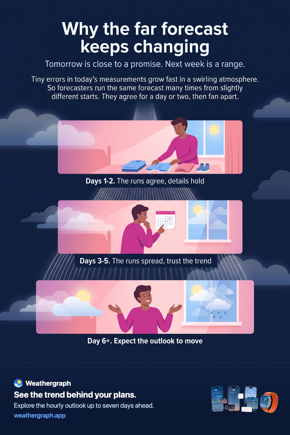
Tiny errors in today's measurements grow fast in a swirling atmosphere. Forecasters run the same forecast many times from slightly different starting points—the runs agree for a day or two, then fan apart.
Updated August 11, 2026
You check the forecast for next Saturday and it promises sunshine. On Wednesday it says showers. On Friday it is sunny again. Nothing has gone wrong—you have been watching normal forecast behaviour, and knowing why it happens tells you exactly how much weight to give a forecast at each distance.
The short answer
- A forecast starts from a picture of the atmosphere right now. That picture is very good, but not perfect.
- Small errors grow. The atmosphere amplifies tiny differences, so a small imprecision today becomes a large one in a week.
- So forecasters run the forecast many times, from slightly different starting points, to see how much the outcomes diverge.
- The runs agree for a day or two, then fan apart. That spread is the uncertainty you feel when the far forecast keeps moving.
Where the starting picture comes from
Before any prediction happens, a forecast model needs an estimate of the current state of the atmosphere—temperature, pressure, humidity and wind, everywhere, at many heights.
That estimate is assembled from satellites, weather balloons, aircraft, surface stations, radar and buoys, blended with a short previous forecast to fill the gaps. The coverage is remarkable, but it is still a reconstruction. There is no observation at every point of the sky.
Why small errors do not stay small
In many systems a small error stays small. In the atmosphere it does not. Fluid motion at this scale is chaotic in the technical sense: two states that differ almost imperceptibly today will diverge, and the difference roughly doubles over a characteristic time.
That is why weather prediction has a horizon at all. It is not a matter of insufficient computing power or lazy forecasters—it is a property of the system being forecast.
The fix: run it many times
Since the exact starting state is uncertain, forecasters do not run the model once. They run it repeatedly with slightly different starting conditions—and sometimes slightly different model formulations—to see what range of futures is consistent with what we know.
The NWS glossary defines an ensemble forecast as "multiple predictions from an ensemble of slightly different initial conditions and/or various versions of models," used to estimate forecast uncertainty from the variation between members. See the NWS glossary entry.
The result is genuinely useful information about confidence:
| What the runs do | What it means for you |
|---|---|
| Stay tightly bunched | High confidence; the details are worth planning around |
| Share a general shape but differ in detail | The pattern is reliable, the timing is not |
| Scatter widely | Only the broad outlook is meaningful; expect the forecast to move |
How to read a forecast by distance
A practical way to use all this:
- Tomorrow and the day after. Read the details. Rain timing, the temperature curve and the windy hours are all worth planning around.
- Three to five days out. Read the pattern, not the specifics. "Unsettled midweek, brighter by Thursday" holds up better than "rain at 2pm Wednesday."
- Six days and beyond. Read it as an outlook and expect revisions. It is useful for deciding whether next weekend looks broadly promising, not for choosing an hour.
And when the forecast changes, remember what a change actually represents: new observations arrived and the forecast improved. A forecast that never updated would be a worse forecast, not a more trustworthy one.
What this does not mean
It does not mean far-out forecasts are worthless. Large-scale patterns—a persistent block, a warm spell, a stormy regime—are often predictable well beyond the point where specific rain timing has become guesswork. The skill fades unevenly, and it fades faster for small, fast-developing features like individual showers than for broad temperature trends.
It also does not mean the app you are using is unreliable when its outlook shifts. Two apps can differ for a separate set of reasons too, which is covered in why weather forecasts disagree.
What this looks like in Weathergraph
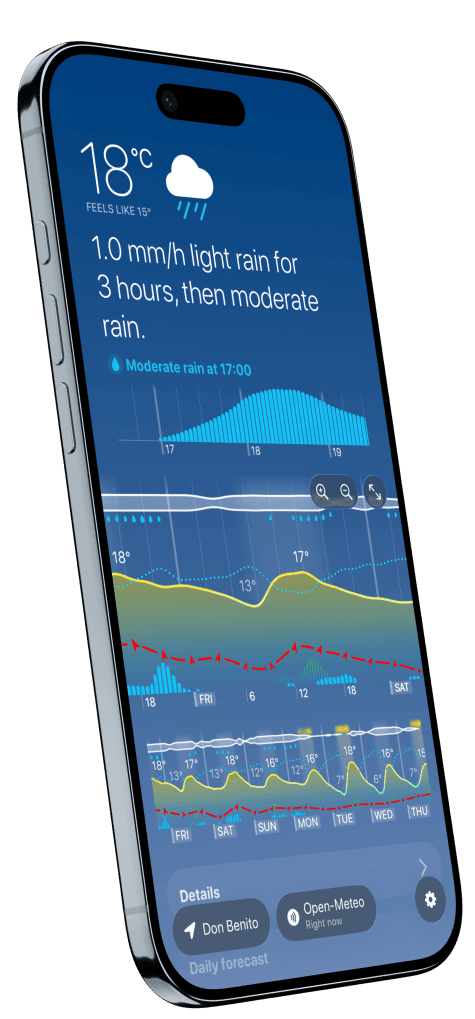
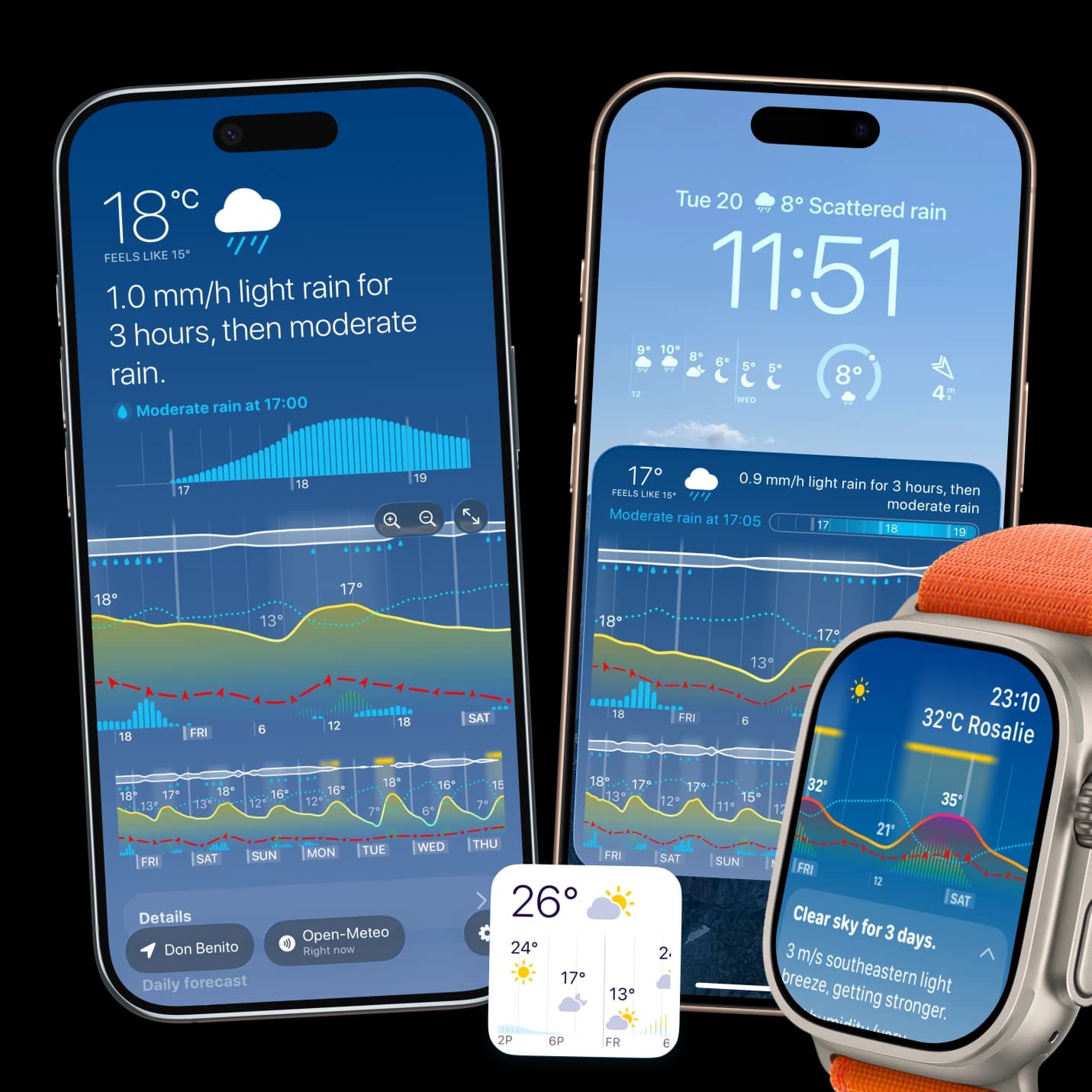
Weathergraph shows the same hourly graph across the whole forecast range, so the near days and far days are presented in the same visual language. In practice you use them differently: read the first two days for detail, and the later days for shape—the rough position of warm and cool spells, and where wetter weather sits in the week.
If the later part of the graph looks different tomorrow, that is the forecast doing its job.
Sources and limits
- NWS glossary: ensemble forecast defines ensembles and their role in estimating uncertainty.
- ECMWF on quantifying forecast uncertainty explains uncertainty from initial conditions and model approximations.
- There is no fixed day at which forecasts stop working. Predictability varies with the weather pattern, the season, the location and the quantity being forecast. For safety-critical decisions, use official forecasts and warnings for your area.
Weathergraph
See the near days in detail and the far days in shape
Weathergraph shows your forecast hour by hour across the full range, so you can read tomorrow closely and treat next weekend as the trend it actually is.
