Weather guide
Reading the forecast before a ski day
The freezing level decides whether new snow is powder or rain, wind decides whether the lifts run, and cloud decides whether you can see. Read all three as one timeline.
Updated September 16, 2026
Snowfall totals get the attention, but they are rarely what decides a ski day. What matters is where the temperature sits relative to freezing, how much wind is on the exposed lifts, and whether there is enough contrast to see the surface.
The quick answer
- Watch the temperature curve cross zero. That crossing is the difference between new snow and rain on the same precipitation forecast — and between a refreeze and slush overnight.
- Wind closes lifts long before it stops you skiing. Gusts on exposed, high-altitude lifts are the usual cause of a resort running only its lower half.
- Cloud decides visibility, and flat light is the thing that ruins a day people remember. Thick cloud on a fresh surface removes contrast entirely.
- A clear, cold night after a warm day means a hard morning. The surface refreezes; the good hour is later than you think.
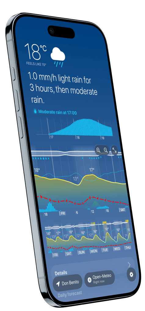
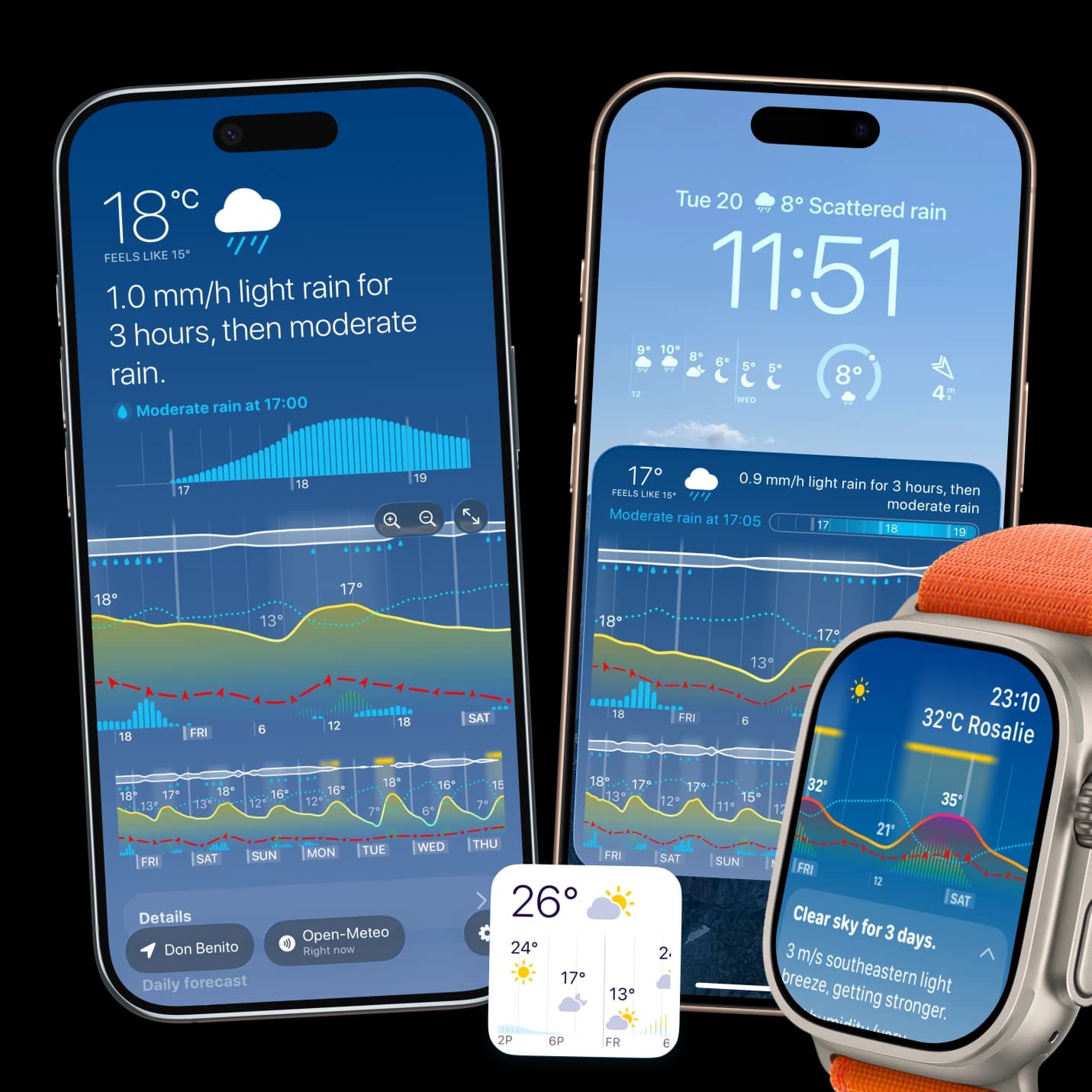
- In Weathergraph the temperature curve and precipitation sit on the same chart, so the crossing point is visible rather than calculated, and the wind line with gust arrows runs alongside it.
The freezing point is the whole story
| Where the curve sits | What falls, and what the surface does |
|---|---|
| Comfortably below 0 °C | Snow stays snow. Cold smoke if it is well below. |
| Hovering around 0 °C | The unreliable case — wet snow, sleet, or rain a few hundred metres lower. |
| Above 0 °C with precipitation | Rain on the piste. The worst outcome for a fresh forecast. |
| Above 0 °C by day, below by night | Spring conditions: slush in the afternoon, boilerplate at first lift. |
Remember that the forecast point is usually the valley or the resort base. Higher terrain is colder — around 6.5 °C per 1,000 m in typical conditions — so a base at +2 °C can be well below freezing at the top station. That gap is exactly why a total snowfall figure for "the resort" tells you so little.
Wind, and why the lifts stop
Wind matters twice on a ski day. It closes exposed lifts, and it moves snow around after it falls, stripping windward slopes and loading lee ones. The number to read is the gust rather than the average — our guide on gusts versus average wind explains why the gap between them is the useful signal. On the hill itself, the feels-like temperature on a fast, exposed chairlift is far below the air temperature on the chart.
Timing the day
- Find the precipitation window and see which side of zero it falls on.
- Check the wind through the morning — that is when lift decisions get made.
- Look for the break in the cloud strip if you care about light more than fresh snow.
- Read overnight temperature to know what the surface will be at first lift.
What this is not
This is a guide to reading a general forecast for a ski day, and it stops where the snowpack begins. Avalanche danger is assessed by regional avalanche warning services using observations no consumer forecast contains, and nothing on a weather timeline substitutes for the local bulletin before going off-piste or touring. Read the bulletin first; use the forecast to choose the day.
Weathergraph
See the freezing point cross the chart
Weathergraph draws temperature as a curve with precipitation beside it, so you can see the hour the forecast crosses zero—and what is falling on either side of it.
