Weather guide
Wind gusts vs average wind: read both before making plans
Sustained wind describes the average; gusts describe brief stronger bursts. Compare both across the hours of a tennis booking, picnic or other outdoor plan.
Updated September 8, 2026
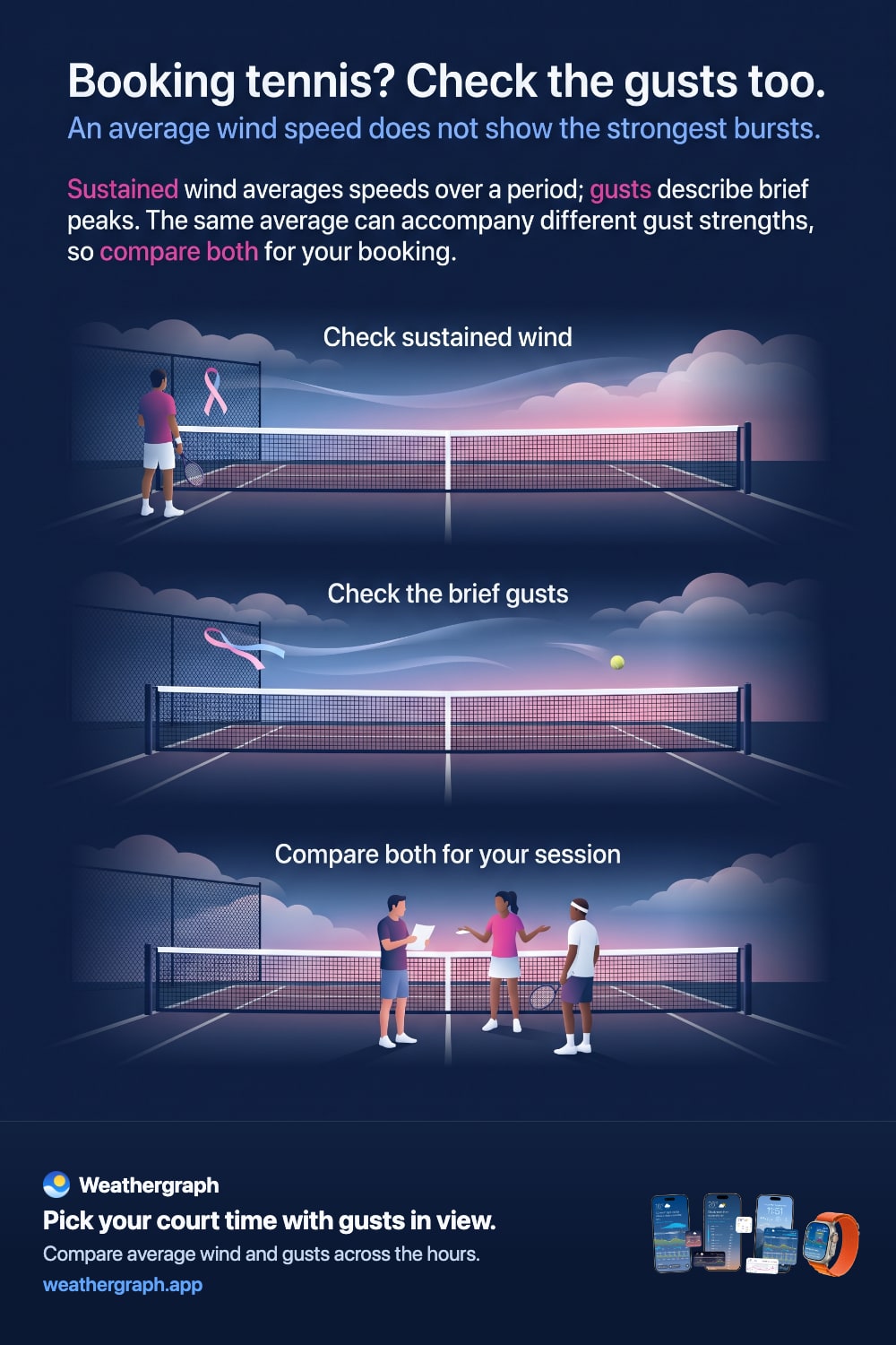
Read sustained wind and gusts together. Sustained wind describes an average over a stated period; gusts describe brief stronger bursts. Two hours can have similar average wind but different gust forecasts.
That difference matters when you are planning something sensitive to a changing breeze: a tennis game, a picnic or an exposed walk. The average gives the background; the peaks add context.
Why there are two numbers
Wind varies as air moves around terrain and obstacles and mixes near the surface. An average smooths those changes. A gust value retains information about short bursts that the average alone cannot show.
The averaging and gust conventions depend on the reporting system. For example, the NWS digital forecast definitions specify sustained wind and a short-duration gust value at a stated height. Do not assume one provider's averaging period applies to every source.
| Value | What it describes | Useful question |
|---|---|---|
| Sustained wind | Average airflow over the reporting period | What general breeze is expected? |
| Gust | A short stronger burst | How much stronger might the wind briefly become? |
| Direction | Where the wind comes from | How does it meet this place or activity? |
Compare two tennis bookings
Imagine two available sessions with these illustrative forecasts:
| Booking | Sustained wind | Gusts |
|---|---|---|
| Earlier session | 15 km/h / 9 mph | 22 km/h / 14 mph |
| Later session | 15 km/h / 9 mph | 35 km/h / 22 mph |
The average is the same. The later session has stronger forecast peaks, which may affect your preference even though the headline wind number barely changes.
Now inspect the full length of each session. A quiet opening hour can lead into a gustier finish. Consider direction and how exposed the court is, then choose according to your preferences. These numbers are examples, not universal playable or unplayable limits.
Relate direction to the place
Meteorological wind direction names where the air comes from. A north wind travels toward the south. Court orientation, shelter and local obstacles affect the breeze you experience. For a physical way to make that comparison, see wind direction at a campsite.
Gusts are not simply an extra amount to add to the sustained wind. Read a forecast gust of 35 km/h as that gust speed, not “15 plus 35.”
Read the changing hours in Weathergraph
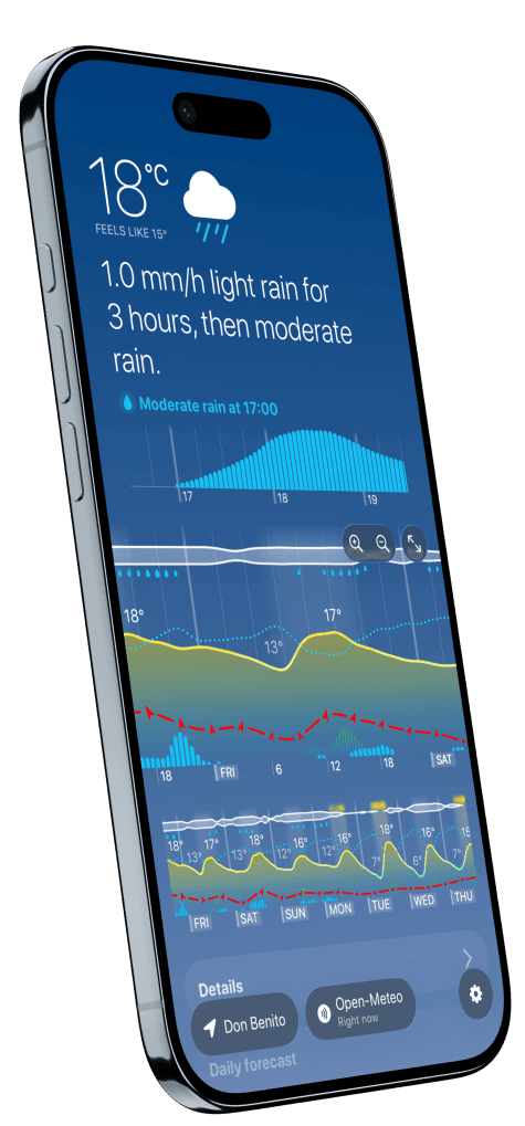
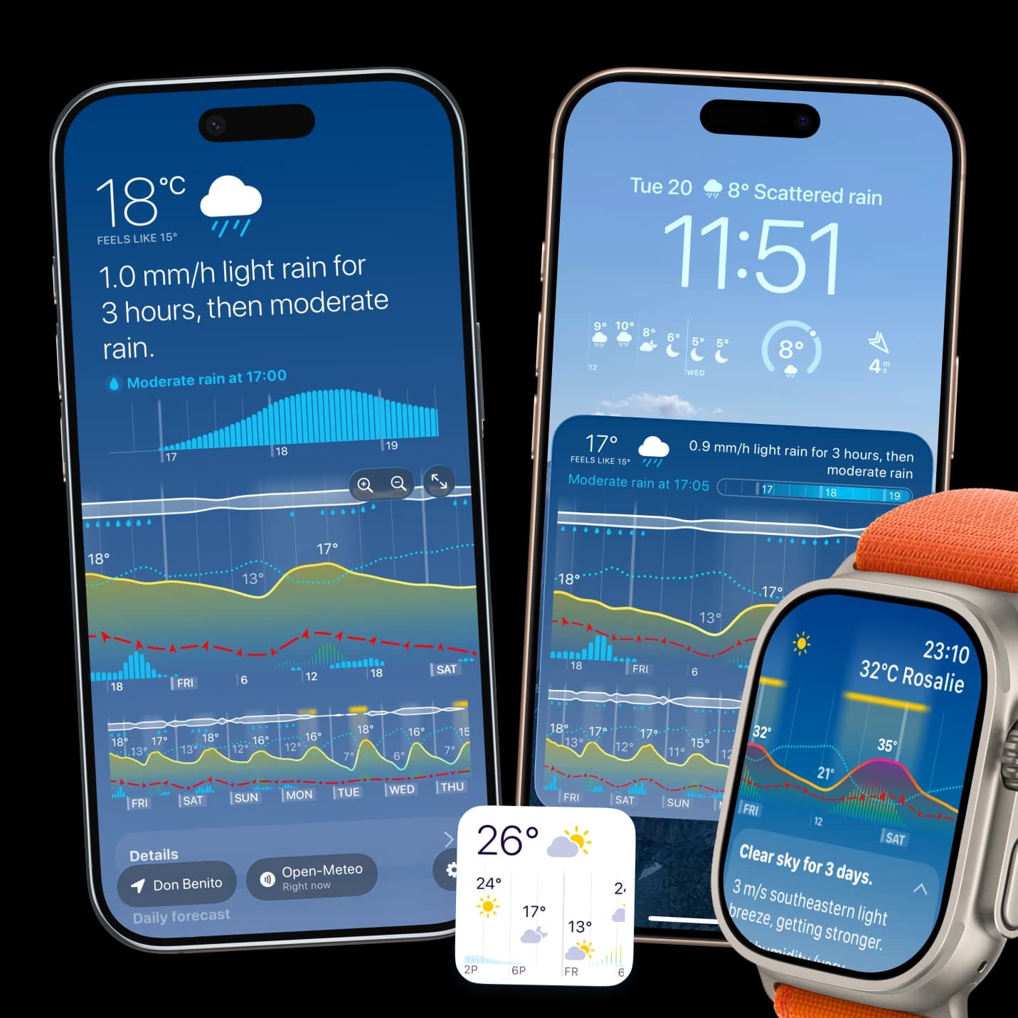
Weathergraph places wind and gust information on the hourly timeline. Compare the hours of the whole booking, look for stronger peaks, and check the units before comparing numbers from another source.
Use the graph to choose between upcoming conditions. It does not calculate a sport-suitability score or establish equipment limits. For the wider method, read how to read an hourly weather graph.
Local conditions still matter
Forecast gusts are estimates for an area. Trees, buildings and terrain can change the airflow at your exact location. Follow equipment instructions for awnings or other wind-sensitive equipment, and use official local warnings and specialist forecasts for marine or aviation decisions.
The NWS wind glossary and forecast-element definitions support the distinction between direction, sustained wind and gusts. The tennis comparison is an original illustrative example.
Weathergraph
See wind and gusts across your whole day
Weathergraph draws sustained wind and gusts together on one hourly timeline, so you can spot the windy hours before you commit to a ride, a paddle, or a picnic.
