Weather guide
Reading a wind forecast for kitesurfing and sailing
Average wind tells you whether to go, gusts tell you which kite, and direction tells you whether the spot works at all. Read the three together on one hourly timeline.
Updated September 16, 2026
For anything powered by wind, a forecast has to answer three questions at once, and a single wind speed answers none of them. Average wind decides whether the session happens, the gap between average and gusts decides which kit you rig, and direction decides whether your spot works at all.
The quick answer
- Average wind → go or no-go. The number most forecasts lead with.
- Gust spread → kit choice and how the session will feel. 18 knots gusting 22 is a clean day. 18 gusting 34 is a day to size down and stay conservative.
- Direction → whether the spot works. Cross-shore is the usable case at most spots; offshore is the one to be careful with, regardless of how good the speed looks.
- The shape over time matters as much as the peak. Wind that builds steadily is a session; wind that spikes for one hour and dies is a drive for nothing.
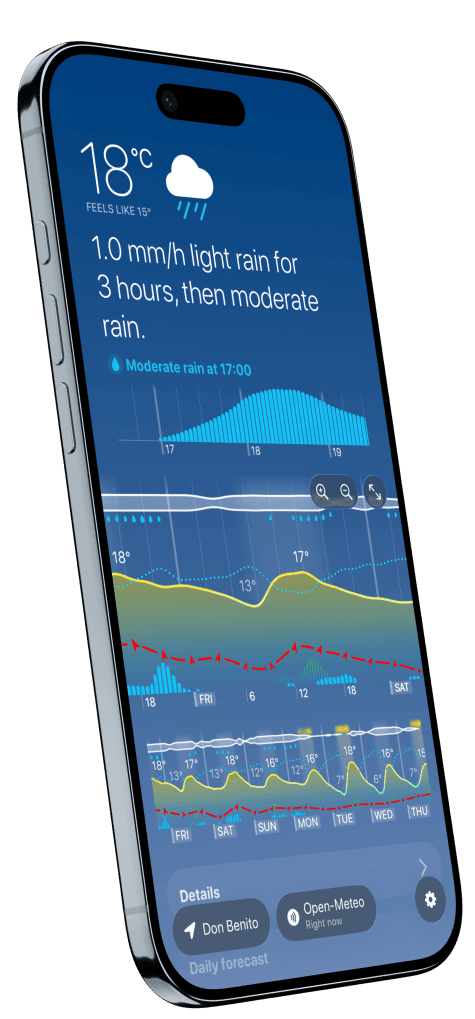
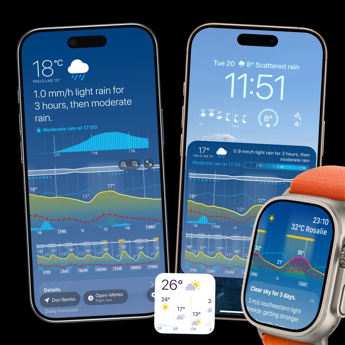
- In Weathergraph wind is a dashed line across the hourly chart with direction arrows at each hour and double arrows where gusts are forecast — so the build, the peak and the drop are one shape rather than a table of numbers. Press and hold for the exact speed with its Beaufort name.
Why the gust gap is the number to read
Average and gust are separate forecasts of the same air. Their difference describes how turbulent it is:
| Gap between average and gust | What to expect |
|---|---|
| Small (under ~25%) | Steady, clean pressure. Predictable power. |
| Moderate | Normal for most coastal days. Rig for the average, expect the gusts. |
| Large (gusts 1.5× the average or more) | Gusty and unstable — usually thermal, frontal or downwind of terrain. Size down. |
A large gap is also a hint about why the wind is blowing, which tells you how long it will last. Thermal wind fades with the heating that drives it. Gradient wind does not. Our guide on gusts versus average wind covers the mechanism.
Direction and the spot
Wind is named for where it comes from, so a "northerly" blows from the north toward you. At a given beach that single fact decides whether the wind is cross-shore, onshore or offshore, and no amount of speed compensates for the wrong one. Read direction across the whole session window rather than at one moment — a fifteen-degree rotation through the afternoon can turn a working spot into an unusable one.
Reading the build
The most useful part of an hourly wind chart is its slope.
- Find when the line crosses your minimum. That is the earliest sensible arrival, not the time you should already be on the water.
- Find the plateau. The flat part is the session; the ramp is setup and the ramp down is packing up.
- Check whether the drop is sharp or gradual. A sharp fall is usually a sea breeze dying with the heating.
- Cross-check the rain bars. A squall line shows up as a wind spike with precipitation under it — that is the shape to leave the water for.
What this does not replace
A forecast is a model of the atmosphere, not an observation of your beach. Local terrain, thermal effects and sea state all bend it, and nothing on a chart substitutes for looking at the water and at whatever live station your spot has. Use the timeline to decide whether to make the drive; use your eyes to decide whether to go out.
Weathergraph
See the session window, not a single number
Weathergraph puts wind speed, gusts and direction on one scrollable hourly chart with Beaufort naming on press-and-hold, so you can see when the wind fills in and when it dies.
