Weather guide
Planning a road ride around wind and rain timing
Wind direction decides where a ride hurts, and rain timing decides whether it happens. Read both on one timeline and plan the loop so the tailwind lands on the tired half.
Updated September 16, 2026
For a road ride, the forecast question is not "will it rain". It is which direction the wind is coming from, when the gusts arrive, and which hours are dry — because those three decide the route, not just the departure time.
The quick answer
- Ride out into the headwind and come home with the tailwind. It is the single highest-value thing a forecast can tell a cyclist, and it costs nothing to act on. The tired half of the ride gets the help.
- Read gusts separately from average wind. A 20 km/h average with 45 km/h gusts is a different ride from a steady 30. Gusts are what push you across a lane.
- A crosswind on an exposed road is worse than a stronger headwind on a sheltered one. Direction matters more than speed once you are above about 25 km/h of wind.
- Rain timing beats rain probability. Look for when the bars begin and end.
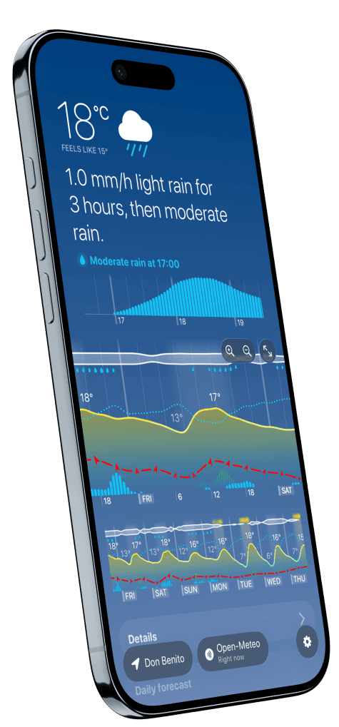
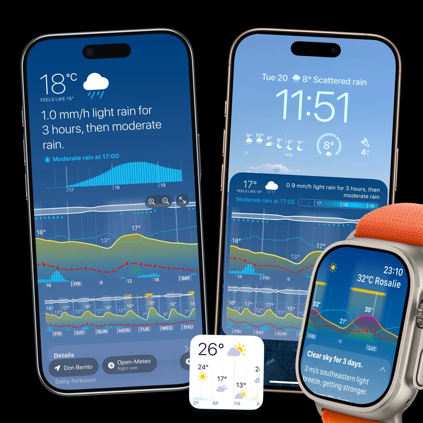
- In Weathergraph the wind line is a red dashed curve with small arrows showing direction at each hour, and double arrows where gusts are expected — on the same chart as rain amount, probability and temperature. Press and hold any hour for the exact figure with its Beaufort description.
Wind direction, in the only terms that matter on a bike
Wind is named for where it comes from. A "westerly" blows from the west, so riding west into it is the hard half. That convention trips people up constantly, and it is worth being deliberate about — our guide on reading wind direction covers the same convention for choosing a campsite pitch.
Practically, for a there-and-back:
- Find the wind direction for the hours you will be out, not for right now. On many days it rotates through the afternoon.
- Head out into it. You will be fresh, and the effort is more even across the ride.
- For a loop, put the exposed leg where the wind helps or crosses least — the arrows along the timeline tell you when the rotation happens.
Gusts are a separate forecast
Average wind and gust speed are two different numbers, and the gap between them is the useful signal. A small gap means steady conditions you can settle into. A large gap means the bike moves under you unpredictably, which matters far more on descents, in traffic and on deep-section wheels than the average ever does. We go into this properly in gusts vs average wind.
Building the ride around the dry window
| What you see on the timeline | What it means for the ride |
|---|---|
| Bars start mid-afternoon, nothing before | Go early; the daily probability is irrelevant. |
| Low bars spread across many hours | Drizzle-type day. Rideable with the right kit, but the roads stay wet. |
| Tall bars in a narrow block | A shower to wait out, not a day to cancel. |
| High probability, small amounts | Likely to get damp, unlikely to get soaked. |
| Rising wind line through the afternoon | Ride the loop in the direction that gives you the tailwind late. |
Temperature is about the descent, not the climb
You warm up on a climb regardless of the forecast. The number that decides what you wear is the temperature at the top, in the wind, wet with sweat. Read the coldest hour of your ride window rather than the average, and remember that the feels-like temperature on an exposed descent is well below the air temperature on the chart.
Weathergraph
Plan the loop, not just the departure
Weathergraph draws wind speed, direction and gusts along the same hourly timeline as rain and temperature, with press-and-hold for exact values in Beaufort terms—so you can see which way to ride out.
