Weather guide
Choosing the day for a mountain hike
A mountain day is decided by cloud base, wind on the ridge and when the weather turns—not by the valley temperature. Read the whole day as a timeline before you commit.
Updated September 16, 2026
A hiking forecast is not a daily summary. The three things that decide a mountain day are when the weather turns, how much wind is on the exposed section, and whether cloud will sit on the tops — and all three are questions about specific hours, not about the day as a whole.
The quick answer
- Plan around the hour the weather turns, and set a turnaround time from it. Most mountain days go wrong because the change arrived earlier than the "afternoon" in a summary.
- Read wind for the ridge, not the car park. Exposure, not air temperature, is what makes a summit unpleasant or dangerous.
- Cloud cover tells you whether there is a view; it does not tell you cloud base. A forecast graph showing thick cloud is a good hint the tops are in, but a hill fog forecast is a different product.
- Note sunset, and subtract. Shorter days catch people out far more often than bad weather does.
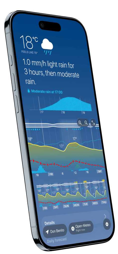
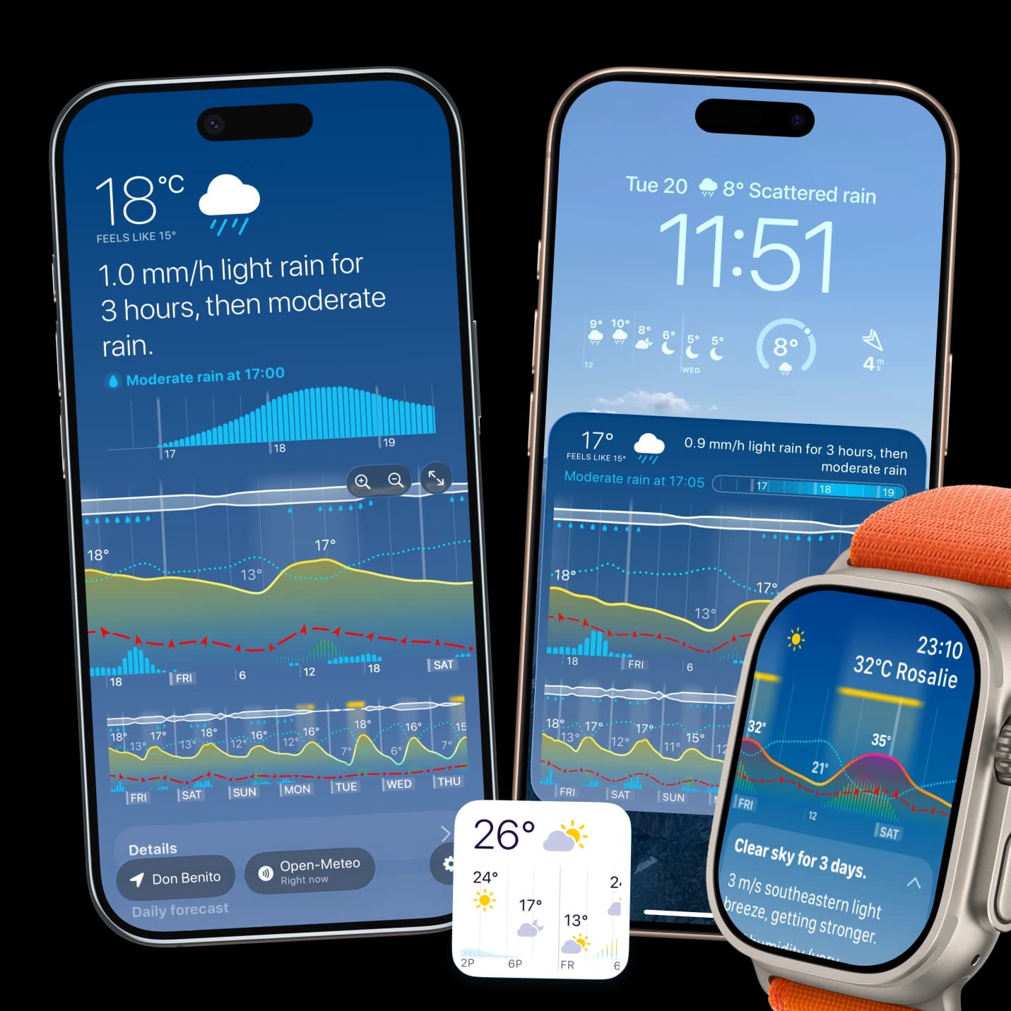
- In Weathergraph the main chart carries about a day and a half at once and scrolls further: the cloud strip along the top, the wind line with gust arrows, the temperature curve and precipitation together, plus sunrise and sunset in the details card. That is enough to pick a start time and a turnaround.
Build the day backwards from the turn
- Find the hour when precipitation starts or the wind steps up. That is your hard deadline, not a suggestion.
- Subtract the descent. Whatever the turn time is, you want to be off the exposed ground before it.
- Set the start time from that, not from when you feel like getting up.
- Check the previous night. A clear, calm night often means fog or low cloud in the valley at dawn — the mechanism is in our guide on why clear nights end in fog.
Temperature at height
Air cools with altitude at roughly 6.5 °C per 1,000 m in typical conditions, so a 20 °C valley can be a 13 °C summit before any wind is considered. Add wind chill on an exposed ridge and the difference between what the forecast says and what your hands feel is substantial. Read the feels-like temperature rather than the air temperature for anything above the treeline, and pack for the coldest hour of the exposed section.
What a general forecast cannot give you
Mountain weather is local in ways a point forecast does not resolve: valley winds, lee-side turbulence, cloud base, and precipitation that falls as snow a few hundred metres higher than the graph suggests. For serious ground, a dedicated mountain forecast service and the local avalanche or mountain-rescue bulletin remain the right sources. A good hourly timeline tells you which day to go and when to turn round; it does not replace a mountain-specific forecast for the route itself.
Checking a destination you are not in yet
Planning from home means reading the forecast for somewhere else, which is easy to get subtly wrong — time zones, the difference between the valley and the trailhead, and forecasts that update at different times of day. Our guide on checking the weather at a destination covers the traps.
Weathergraph
See the whole day before you set off
Weathergraph shows about a day and a half of temperature, wind, gusts, cloud and rain on one scrollable timeline, with sunrise and sunset—so a turnaround time is easy to set.
